
Industry solution · UAV
Drone inspection
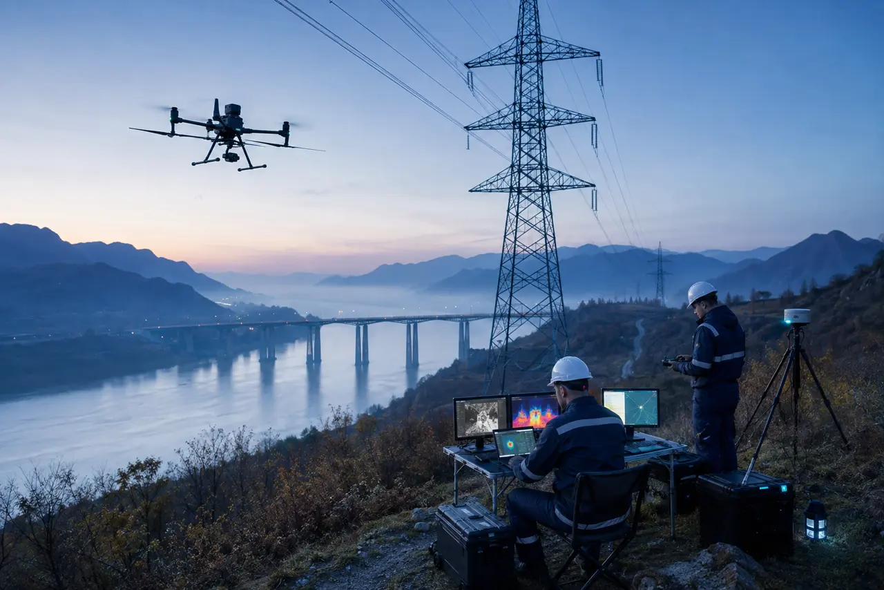
Link mission boundaries, routes, visible and thermal imagery, point clouds and GIS assets to automate archiving, assisted defect detection, geolocation, human review and reinspection.
20-second walkthrough
From field context to operational closure
The sequence explains the solution through sensing, data flow, intelligence and operational action.
Solar, wind and transmission lines
- 01Solar, wind and transmission lines
- 02Mission area, terrain and asset register → Route planning and compliant flight
- 03Visible, thermal and point-cloud ingestion → Vision analysis and GIS geolocation → Human review, work order and reinspection
- 04Workflow integration → Continuous operations
Start with the operating problem
Define the objects, data, owners and response actions before selecting technology, so the platform becomes an operating system rather than an isolated display.
Solar, wind and transmission lines
Rivers, bridges and utility corridors
Industrial parks, forests and urban patrol
Reference system architecture
Every layer has explicit inputs, outputs and ownership boundaries, and can connect to existing equipment and systems in phases.
Build a sustainable operating loop
Go-live is the beginning. Business review and continuous evaluation keep rules, data and models aligned with changing field conditions.
- 1
Field discovery
Confirm assets, data sources, network limits, permissions and current processes.
- 2
Scoped validation
Use representative samples to set a baseline for errors, latency and usability.
- 3
Workflow integration
Connect alerts and insights to work orders, approval, dispatch and review.
- 4
Continuous operations
Monitor quality and drift while retaining versions, audit records and rollback.
Accept against verifiable measures
These are recommended acceptance dimensions, not unverified performance claims. Targets must be set from the site baseline, sample tests and business risk.